 What: Mt. Borah (12,662')
Where: Lost River Range, Idaho
Stats: ~5 mi, 5,100'
Pictures:
I've been commuting to Idaho most weeks for work since 2008 and while I usually return to California to climb occasionally I stay over a weekend and climb out there. In September of 2009 I did a multi-day road trip to visit Mt. Borah, Craters of the Moon, and a few other things along the way.
Mt Borah has the distinction of being the state highpoint of Idaho at 12,662'. There is a trail but it it's steep (5,200' in 3.5 miles!) and is punctuated by a a 300' 3rd class section called Chicken Out Ridge so it's not a total bore. Also according to the signage the peak was actually 7 feet lower before an earthquake in 1983. That would have been an interesting ride!
The trailhead is off Highway 93 and was easily accessible in the low clearance rental car. There's convenient camping right at the trailhead.
And there's even interpretive signs where you park!


What can I say, I'm a sucker for fun facts.
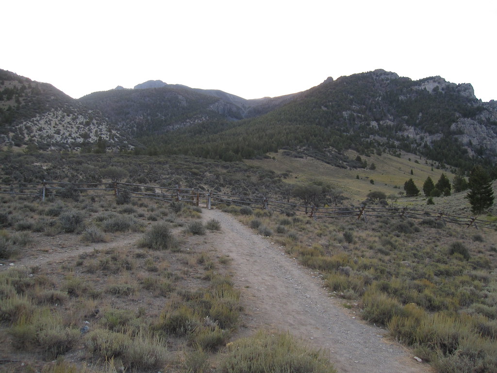
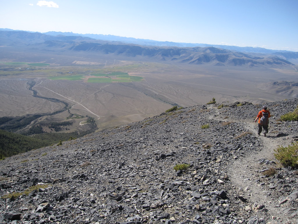
The trail starts out nondescript but quickly climbs into forested slopes.

One advantage of the steep climb is the view improves quickly.
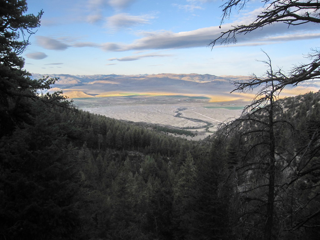
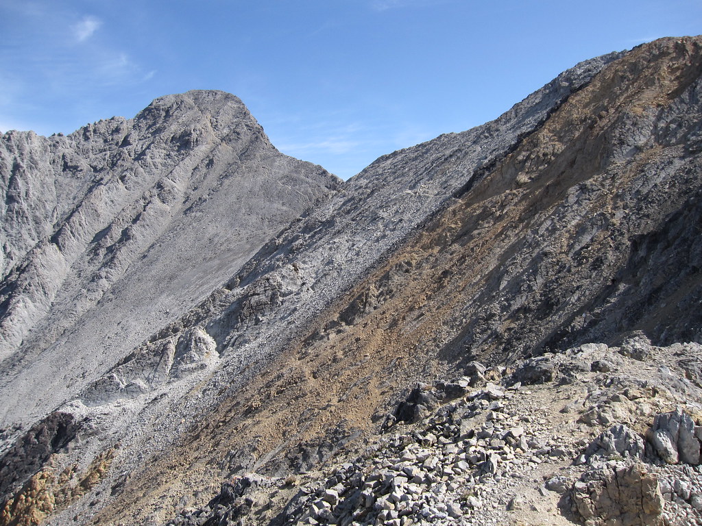
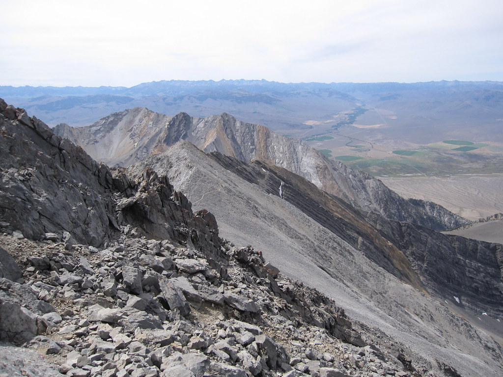
You end up on the ridge around 11k and things really open up.
And you get your first view of Borah itself.
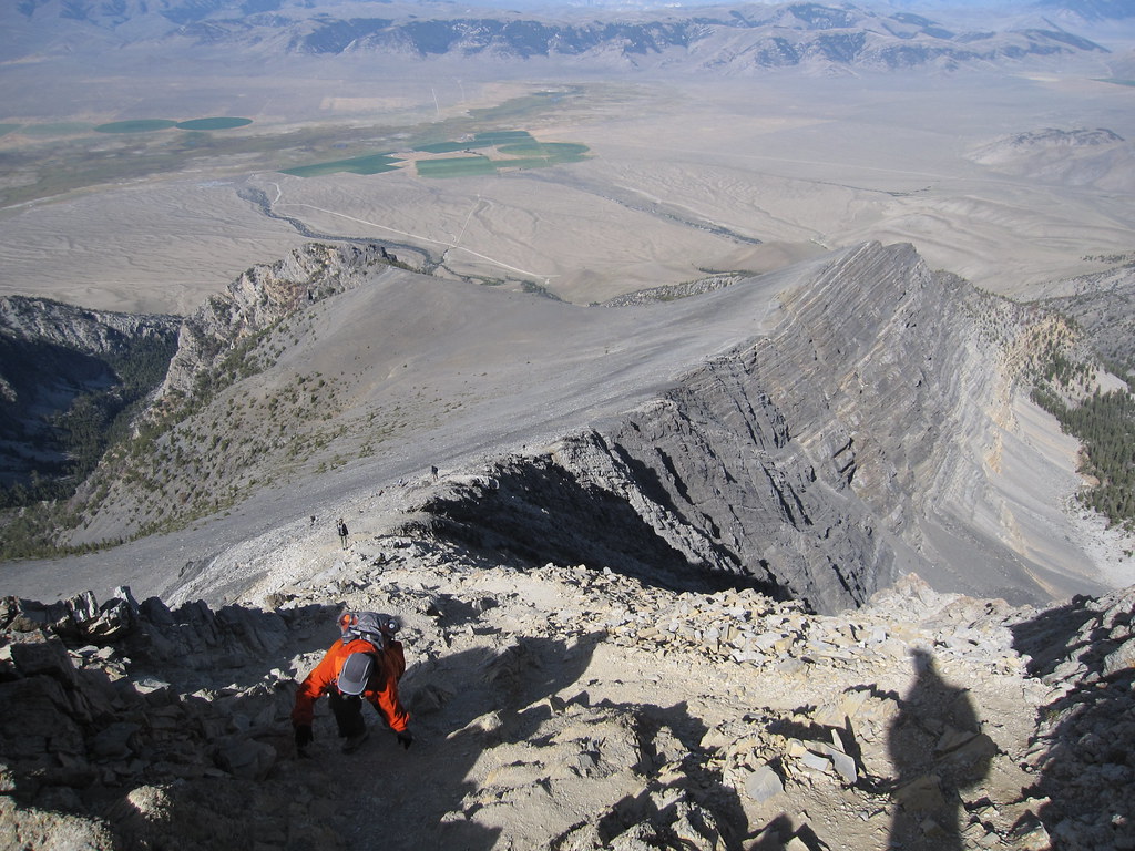
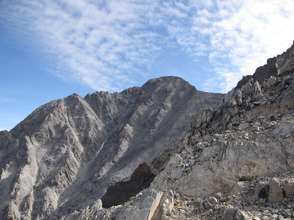
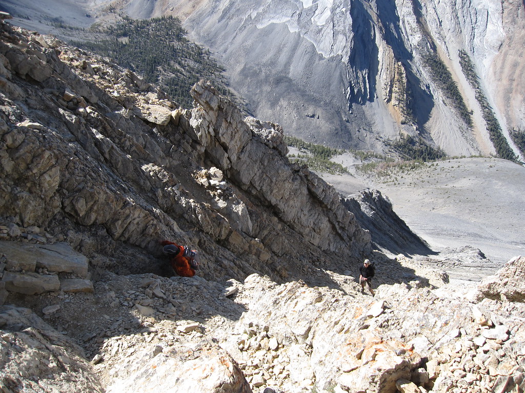
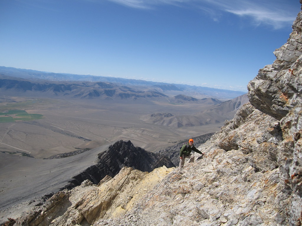
It's near here the trail runs rather abruptly into Chicken Out Ridge.
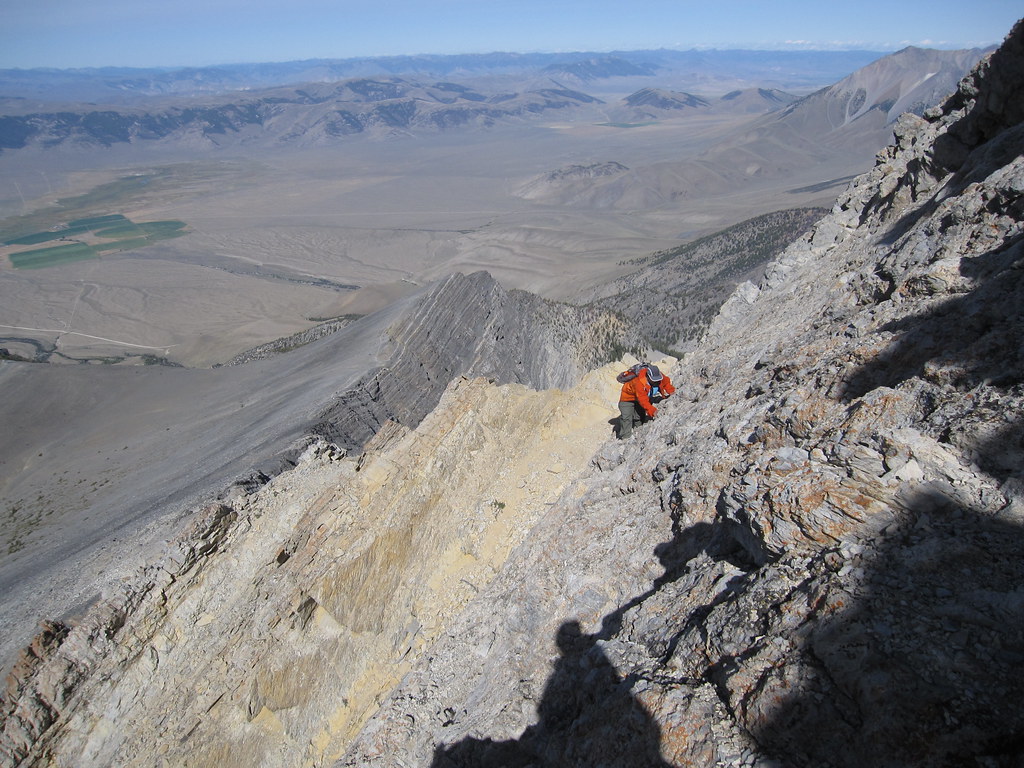
Chicken Out Ridge is easy 3rd class but it can feel a bit exposed here and there.
There is a general route that's easy enough to follow and I saw ducks scattered around. You can also ignore those and pick your own route at about the same level of difficulty.


The following year there were two separate incidents involving Boyscouts (why am I not surprised resulting in falls of 200 and 600 feet. The fact neither of those was fatal should clue you in to the fact your dealing with slopes not cliffs.
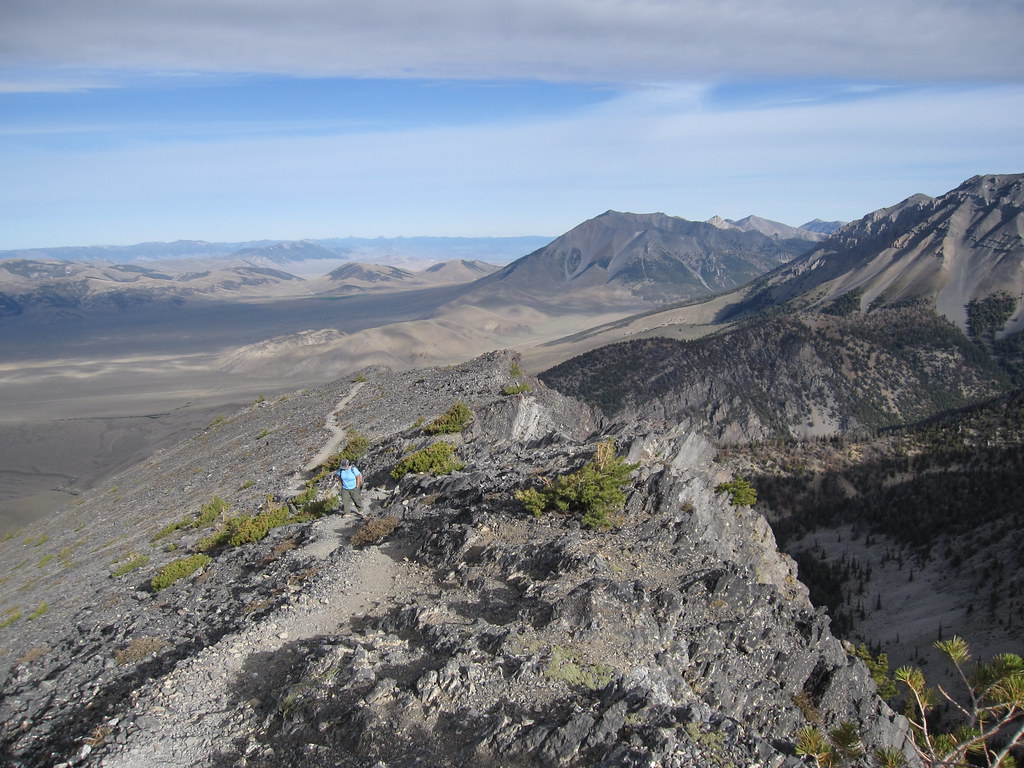
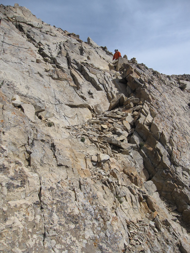
300' of fun later you exit the rock and get back on trail.
From here the trail is obvious again if somewhat less defined.
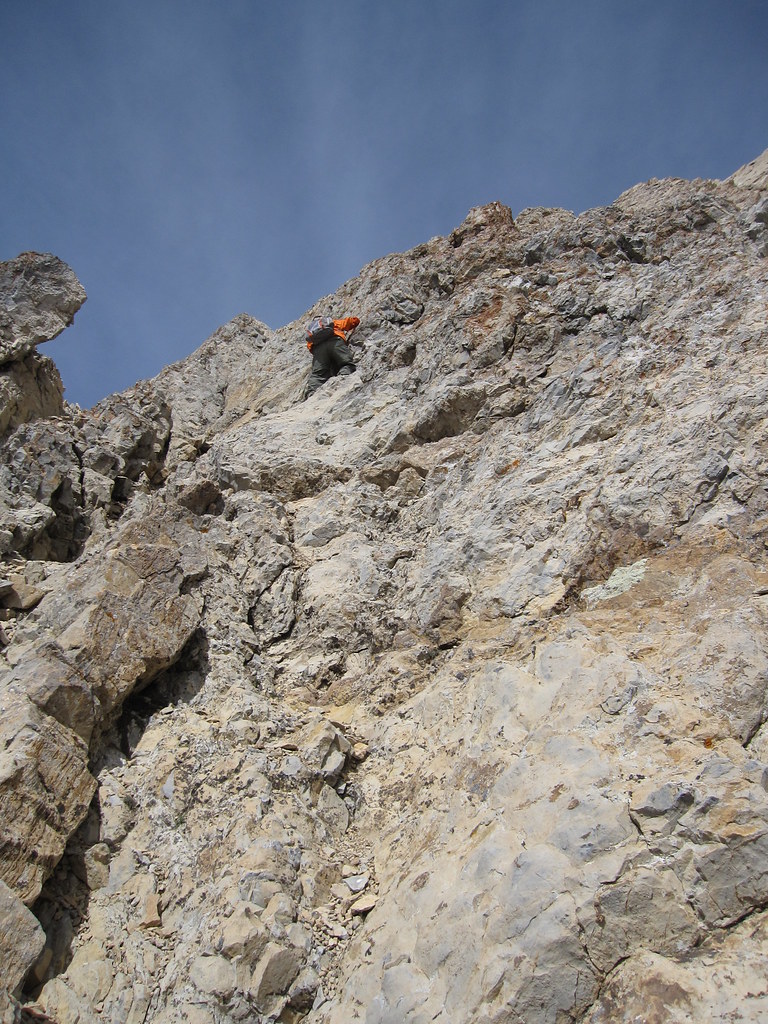
The actual trail side hills somewhat up the last bit to the peak. I'd talked to a local below and decided to head up the ridge instead. Things got slightly 3rd class-y here and there but after descending the trail afterwards I thought the rocks were actually the better route.
I could see people on the trail below me eyeing me every time I tipped over a rock.

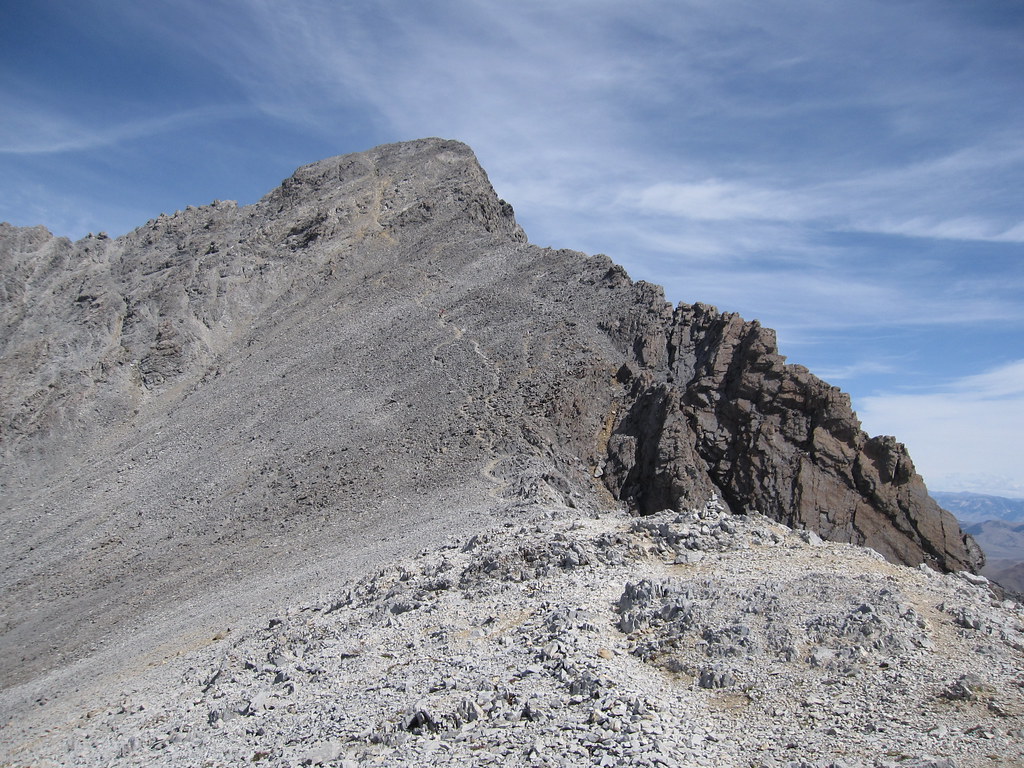
Soon I could see the summit.
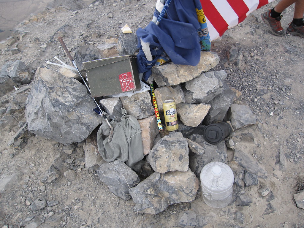
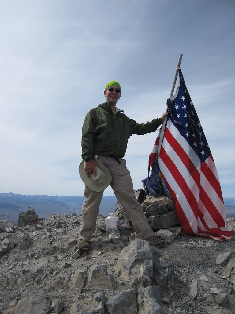
As such a popular destination there were all sorts of flags and mementos up top.
I waited my turn and had my picture taken with the flag.

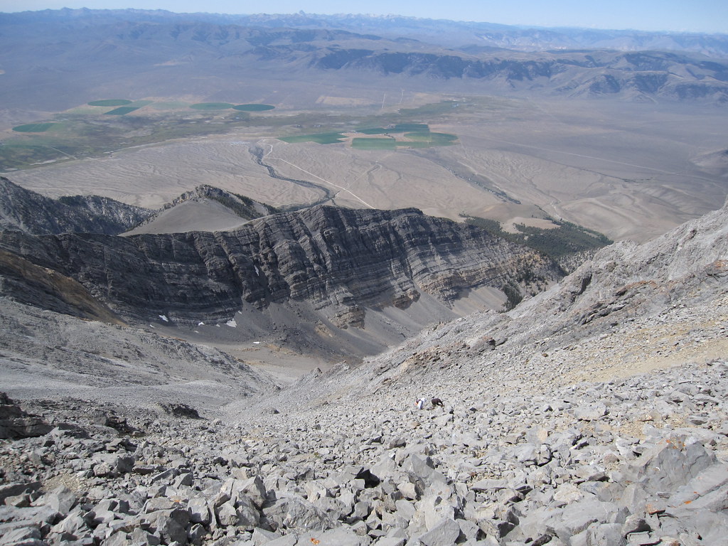
Then it was time to head down. As I mentioned before the trail right below the summit was steep and loose and I started wishing I'd stuck with the ridge.
Chicken Out Ridge did take a bit of care to descend but it was also an opportunity for more cool pictures.
Once past that bit the descent went quickly and I made it down well before dark.
0 comments