Mount Ian Campbell WTC Experience Trip
- Updated: October 01, 2016
- Post By: Matthew Hengst

October 1st & 2nd, 2016
Mount Ian Campbell (10,616')
Ian Campbell is a relatively minor peak in the Sierra Nevada. It's not on any of the major peakbagging lists and doesn't appear to be visited all that often but it does feature a reasonable approach, a decently cross country summit climb, a lake to camp at, and on top of all of that it's low enough to allow backcountry fires. All of this makes it a nice fit for a WTC experience trip.
This was the last of the WTC trips I led during what turned into a rather busy climbing season. With my knee noticeably improved post knee surgery I managed to lead 17 weekend trips in the period between the Spring and Fall Sierra Club Advanced Mountaineering Program class. Several of the trips were a little more laid back but this was more than I'd been able to manage for several years and the quantity of trips tied with my all time season record.
It also made for a gloriously hectic few months of running out of town, coming back late, and working my rear end off at my job so I could leave town again a few days later. And so it was with a mix of relief and disappointment that I reached this weekend and the final trip of the season before Fall AMP started and took up my weekends for the rest of October.
Ian Campbell makes for a great two day WTC experience trip style outing with the only real downside being the long drive. The trailhead is on the west side at Florence Lake which is around a 7 hour haul from Orange County which is a bit long for those of us gainfully employed types who typically can't leave town until 7 pm.
 |
| Late night driving + coffee |
In order to make it a little more manageable we had everyone drive out to Huntington Lake Friday night which is only about 5 hours away and camp there. Some of the participants got a site at Rancheria Campground, one pair stayed at Mono Hot Springs, and we ended up pulling off the road on the switchbacks just past Huntington. We moved the start time to 10 am so people could do the remainder of the drive in the morning and arrive in plenty of time.
 |
| Who needs a campsite? |
Our spot off the road at the top of the switchbacks just past Huntington Lake served well and there was little traffic to bother us. I saw more bivy options before and after that so there's no need to pay for a campsite unless you really want one.

 |
| The easy way to walk your horse |
People filtered in and eventually we had 12 participants. Unfortunately we were expecting 13 and by 10:30 am it was starting to look like we were going to have to leave someone behind.

We got everyone signed in, spent a few minutes doing a quick photoshoot for the new AMP and WTC hats, and were just about to leave when a car containing our last panicked participant shot into the parking lot. She'd had a small mix up with directions and had been waiting 10 minutes down the road before someone had told her where the actual parking lot was.

With our group fully assembled at last we set off up the trail.
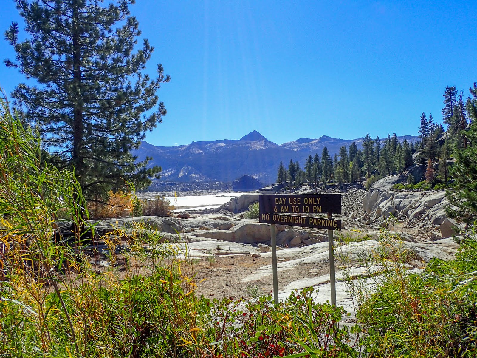
As we left the parking area we had a view of Florence Lake that really showed just how low it's gotten during the last few years of drought.

The trail climbs steadily right out of the gate but this doesn't last too long before it flattens out near Dutch Lake and then climbs again briefly to Crater Lake.
 |
| Dutch Lake |
The total mileage into camp is only 4 or 5 miles in Crater so we took our time and some sizable breaks along the way. We were in camp with several hours of daylight left.
 |
| Largest camping area |
The trail dead ends at Crater Lake and right where you join the lake there was an area with several fire pits and ample established camping for a large group. Off to the left were some smaller sites which were occupied by a pair of fisherman with some rather friendly dogs.

The lake was beautiful though it was a little chilly to swim for most of us. Most of us did filter water since there was no running stream around.
 |
| Happy Hour |

The area around camp had been pretty stripped of downed wood but we found plenty down in the hill behind us and soon had a nicely crackling fire.
Happy hour was suitably impressive and everyone did an brave job of handling the various libations people had packed in.


With the fire we didn't close things down until after 11.

The next morning we had everyone up before down and moving as soon as it was light.

Since it was now October it was a bit on the chilly side until we got in the sun.


We went around the north side of the lake and started climbing steadily. This had the added benefit of getting us in the sun faster and warming us up a bit.
 |
| Summit of Ian Campbell from the point we gained the ridge |
It was steep but short and the terrain was decent cross country with just the occasional boulder to scramble over or bush to crawl through and options to reroute and avoid the worst of it.

Once we were on the ridge we stayed mostly on the west side where it was flat and open.

The summit had a few boulders we had to check before finding the register on this one. It's 2nd class you just have to find the right spot to scramble up. Setting up the picture took some doing but one participants boyfriend had dayhiked the peak and was kind enough to serve as photographer.
Due to the limited space we mostly took pictures on the flat area below. The summit isn't overly impressive as it's basically a bump along a ridge but there's nice views in every direction.

 |
| Note to self: Give Jo less coffee... |


 |
| A particularly hairy participant objects to my leadership style |

We went down the same way we came up except we cut a little further to the north. Both routes worked and has pluses and minuses. Basically you can just pick a point anywhere along the ridge and except to find something reasonable.
 |
| Kings Castle off in the distance which I'd like to visit next time |

 |
| Repackaging food? Pfft... |


There was a storm that was supposed to roll in that night and the next day hence the drop in temperature. We didn't have any precipitation but we did start to see more clouds off in the distance

 |
| Post hike pre dinner beer! |
 |
| Clouds building up on the drive out |

Getting out was a bit harder than getting in. We ran into a few vehicles and trailers some of which required several of our vehicles to back up along the windy little road until they could squeek by.

We stopped at an old favorite post trip Mexican food joint called Velascos in Prather. On a previous trip we'd gotten everyone all excited to come here only to find the old location shuttered and a sign saying they might reopen at some point. I'd reached out over Facebook and found out that they actually do have a new location already and it's just not apparent from the road. Basically head further away from the road and it's tucked into a storefront you can almost see from the old location. The food was good as always and they seem to have a little extra room now.
From there it was about four hours of easy driving to get home.
0 comments