
Avawatz Peak (6,155')
When: November 22nd, 2014
Where: North of Baker
Who: Matthew Hengst, Jen Blackie
Pictures: [Matt]
GPS Track: [Map]
I'm closing in on the end of the Sierra Club Desert Peak Section list and there's a few peaks left out by themselves as a result of odd pairings or minor misadventure. Avawatz is one of those and I'd been eyeing it for some time making eventual plans to pair it up with something off list like Ibex.
I'd heard through the grapevine that the standard DPS route up Avawatz was so washed out so as to be terrifying even in a Jeep so that put it out of consideration for trips like the Mustache Mosey. So when an open weekend came up we decided to knock it off.
The northern route listed in the DPS guide is significantly longer (15 miles vs 6 miles) but avoids the access issues and starts out of something labeled Sheep Camp on the map which sounded interesting and fulfilled my strong preference for desert trips of having nice camping!
We made plans to explore the nearby Silurian Hills the following day to round off the weekend and we were off!
Jen and I made the familiar drive to Baker and headed north towards Shoshone. From here we turned on a decent dirt road for a time before making another turn south.
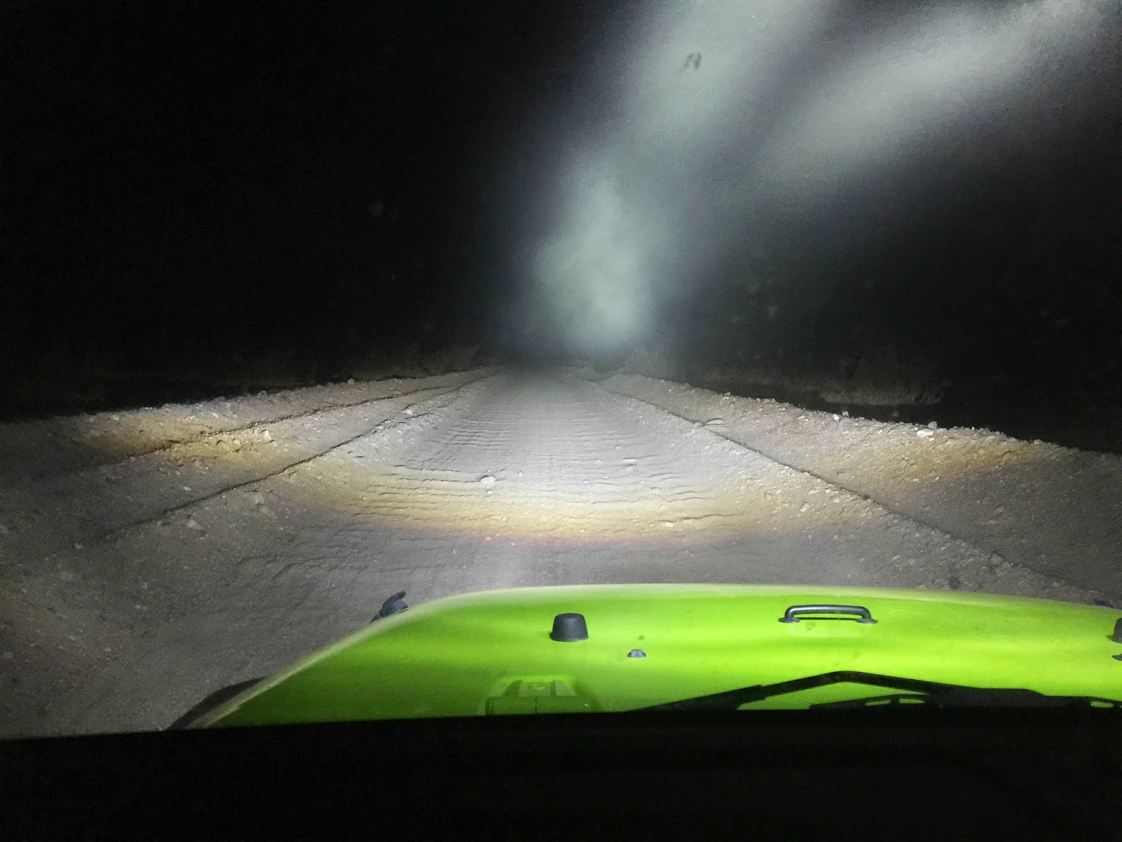
Once we turned south things got progressively rougher though the only thing that really gave me pause in the Jeep was when we briefly ended up in something that was less a road and more a wash. A quick turnaround showed us the way we should have gone and we continued on.

We reached the site of the old cabin and sure enough it had been torn down. For some reason they left a porta potty (minus a tank so I'd recommend running off into the bushes instead) sarcastically labeled "The New Cabin"
There was a fire pit and plenty of flat ground for our uses though the large amount of rusty nails on the ground gave me visions of another flat tire.
The foundation for the cabin is still there which makes for a decent sleeping platform if your squeamish about bedding down on rusty nails, broke glass, and the occasional spent ammunition.

The next morning we got a better look around. In addition to the cabin foundation and the porta potty there are a few old tanks and a vegetation choked spring right above the camp.

There was a decent trickle of water flowing but the entire area smelled strongly of sheep pee so we didn't use any of it. And sure enough while preparing and consuming a damn decent breakfast we had a visitor.

As soon as he noticed us he left the water and trotted back up the hillside where he watched us until we left. I'd have liked to have been there at sunset to see how many others dropped by.
We got moving slightly later than we wanted considering we had a 15 mile day but hey, that's what headlamps are for.

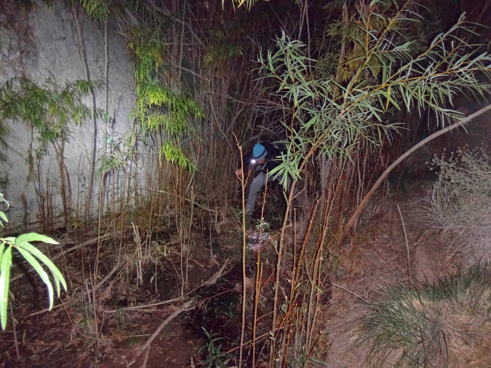
Right out of camp we followed a very faint trail through very dense brush. We climbed out and up a hillside after a short distance but this required a brief battle with some cats claw. There's a far better use trail on the top of the hill that we didn't see until we came back.

The route is mostly just climbing up the prominent wash running through the middle of the mountain range.
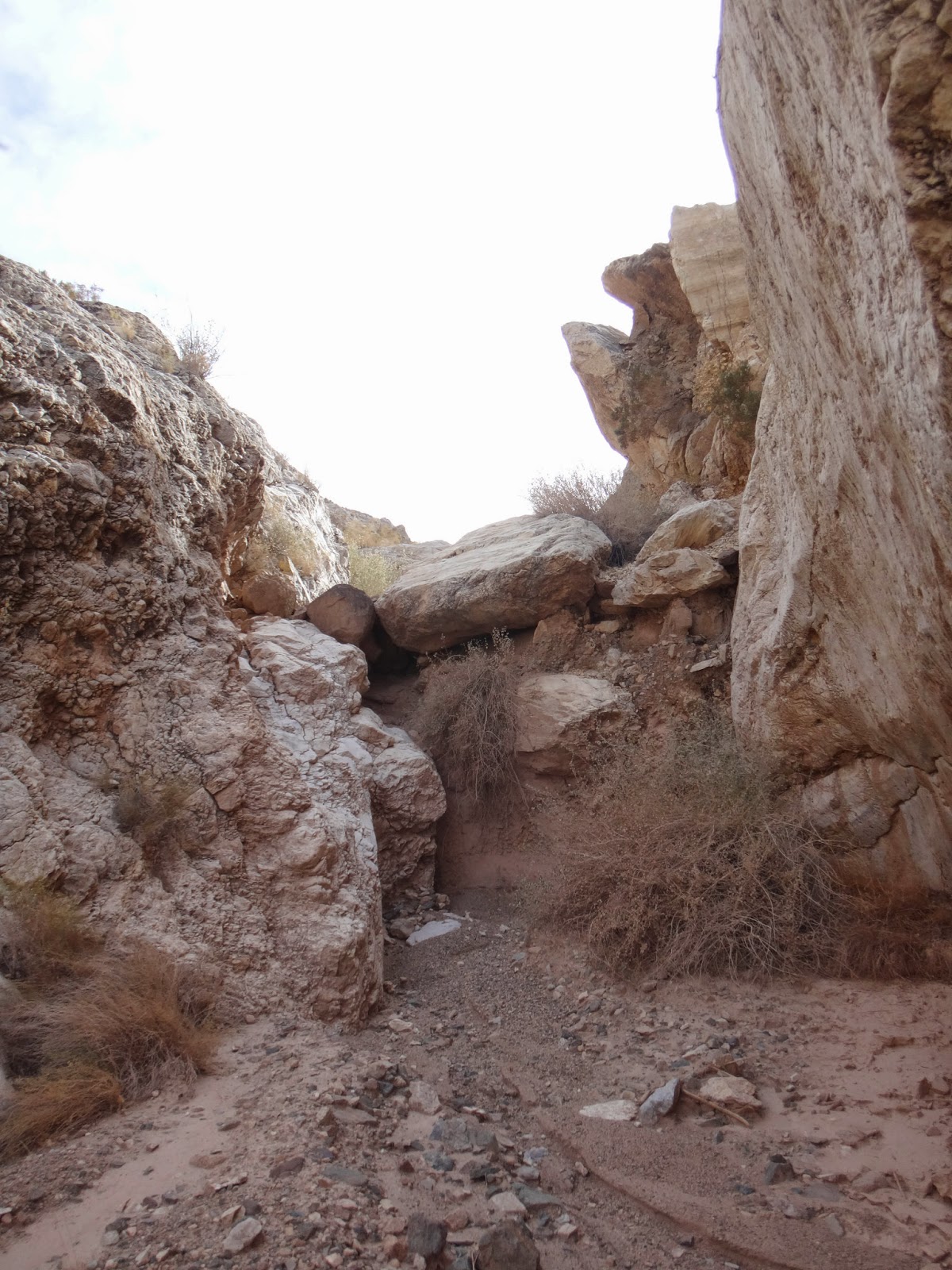
One of twice there's a spot where you have to pay attention. The DPS guide calls them 3rd class but if so they're on the low end. There's also some debris and an old structure up there including some pipping running to one of the springs along the way.

Eventually the route turns and we climbed up through some loose white rock / dirt.

We topped out into a heavy wind which encouraged us to hustle up the last section.
The peak is a short scramble from here. We saw one duck but it didn't seem to indicate any better route that what we took.
The peak seems to be visited by more military personal via helicopter than peakbaggers and there's a number of mementos left behind. We didn't dawdle too long due to the wind and the fact the sun was on its way down.

The wind was blowing up dirt in the distance which killed visibility but made for a pretty sunset. We *almost* waited up top to see the actual sunset but sanity and the draw of a hot dinner and rum drinks 14 miles ahead of us kept us moving.

The loose section dropping back down into the canyon was just as unpleasant going down.
There are two springs you pass through which feel rather creepy at night. Them camp itself also had a similar vibe though I couldn't say why moreso than any other remote desert camp.
Other than the springs and the loose section near top the terrain makes for fast hiking and we were back in camp in what felt like a relatively short time. We both commented it didn't feel like we'd done a 15 mile day.


A campfire helped warm up the surroundings and we set to making dinner and drinks before turning in for the night.
We were in a hurry the next morning since our planned climb of the Silurian Hills High Point was going to involve a lot of exploring and the one think I regret is passing up the mine you can see to the right in the picture below.

It's not far from the cabin location though I'm not sure if I'd drive that road in the jeep. It didn't look that impressive from what we could see below and so we ended up passing it by. Later google research made me kick myself since it looks like it's actually a rather neat one. Next time!
Next, on to Silurian Hills!
Once we turned south things got progressively rougher though the only thing that really gave me pause in the Jeep was when we briefly ended up in something that was less a road and more a wash. A quick turnaround showed us the way we should have gone and we continued on.
We reached the site of the old cabin and sure enough it had been torn down. For some reason they left a porta potty (minus a tank so I'd recommend running off into the bushes instead) sarcastically labeled "The New Cabin"
There was a fire pit and plenty of flat ground for our uses though the large amount of rusty nails on the ground gave me visions of another flat tire.
The foundation for the cabin is still there which makes for a decent sleeping platform if your squeamish about bedding down on rusty nails, broke glass, and the occasional spent ammunition.
The next morning we got a better look around. In addition to the cabin foundation and the porta potty there are a few old tanks and a vegetation choked spring right above the camp.
There was a decent trickle of water flowing but the entire area smelled strongly of sheep pee so we didn't use any of it. And sure enough while preparing and consuming a damn decent breakfast we had a visitor.
As soon as he noticed us he left the water and trotted back up the hillside where he watched us until we left. I'd have liked to have been there at sunset to see how many others dropped by.
We got moving slightly later than we wanted considering we had a 15 mile day but hey, that's what headlamps are for.
Right out of camp we followed a very faint trail through very dense brush. We climbed out and up a hillside after a short distance but this required a brief battle with some cats claw. There's a far better use trail on the top of the hill that we didn't see until we came back.
The route is mostly just climbing up the prominent wash running through the middle of the mountain range.
One of twice there's a spot where you have to pay attention. The DPS guide calls them 3rd class but if so they're on the low end. There's also some debris and an old structure up there including some pipping running to one of the springs along the way.
Eventually the route turns and we climbed up through some loose white rock / dirt.
We topped out into a heavy wind which encouraged us to hustle up the last section.
The peak is a short scramble from here. We saw one duck but it didn't seem to indicate any better route that what we took.
The peak seems to be visited by more military personal via helicopter than peakbaggers and there's a number of mementos left behind. We didn't dawdle too long due to the wind and the fact the sun was on its way down.
The wind was blowing up dirt in the distance which killed visibility but made for a pretty sunset. We *almost* waited up top to see the actual sunset but sanity and the draw of a hot dinner and rum drinks 14 miles ahead of us kept us moving.
The loose section dropping back down into the canyon was just as unpleasant going down.
There are two springs you pass through which feel rather creepy at night. Them camp itself also had a similar vibe though I couldn't say why moreso than any other remote desert camp.
Other than the springs and the loose section near top the terrain makes for fast hiking and we were back in camp in what felt like a relatively short time. We both commented it didn't feel like we'd done a 15 mile day.
A campfire helped warm up the surroundings and we set to making dinner and drinks before turning in for the night.
We were in a hurry the next morning since our planned climb of the Silurian Hills High Point was going to involve a lot of exploring and the one think I regret is passing up the mine you can see to the right in the picture below.
It's not far from the cabin location though I'm not sure if I'd drive that road in the jeep. It didn't look that impressive from what we could see below and so we ended up passing it by. Later google research made me kick myself since it looks like it's actually a rather neat one. Next time!
Next, on to Silurian Hills!
0 comments